Day Trip to Cincinnati, Ohio and the Underground Railroad Museum


At the very end of last spring, on June 17th, my wife (Jasmine) and I made another day trip, this time traveling to Cincinnati, Ohio and back in one day. Cincinnati would normally be a 3-hour drive from where we live (Bowling Green, Ohio), but that day it took at least five hours due to a tanker leaking toxic chemicals and I-75 being shut down north of Dayton, Ohio. Just like we did on our day trip to Columbus, Ohio in May, we stopped for lunch at an African restaurant.

10

In Columbus we had Somali food, which is East African, but in Cincinnati we tried some West African food at a Senegalese restaurant. Teranga Restaurant is on the north side of Cincinnati, and as one can see from their parent website the owners also run a grocery/supply store, a hair shop, currency exchange services, and a travel agency.

03

06

09

From there we headed to downtown Cincinnati and visited the Underground Railroad Museum. If you visit Cincinnati, we highly recommend visiting this place. Free parking is available in front of the building, which is in a great downtown location near the Ohio River. The Underground Railroad Museum covers the history of the slave trade in America, and also shines the light on modern slavery around the world, including human trafficking, child labor, etc. It was a highly educational experience, and we could have learned/seen even more if we had more time. Here are some pictures from our visit to this museum:

01

09

11

12

16

19

29

31

42

43

44

46

47

48

After spending time at the museum, we walked around the nearby parts of downtown Cincinnati.

02

07

14

02

04

We then walked across a nearby bridge to Covington, Kentucky.

03

(facing Covington, near the entrance to the bridge)

01

09

(facing Cincinnati while on the bridge)

10

11

04

(facing Covington)

15

(facing toward Cincinnati on the left and toward Newport, Kentucky on the right)

05

(facing Cincinnati)

10

(Covington)

For those who appreciate unique forms of public transportation, the Cincinnati area features an amphibian taxi, the Newport Ducks. It runs along the Ohio River…

01

03

…and on land:

Ride The Ducks Newport

(Photo Source: Newport Aquarium)

After walking back to Cincinnati, we drove back over the bridge to Covington.

12

15

18

22

24

25

28

31

(Another bridge from Cincinnati – Newport, Kentucky can be seen on the right side of the photo.)

33

35

36

We then concluded our time in the Cincinnati area by driving over to Newport, Kentucky, just east of Covington.

02

04

05

08

Bowling Green, Ohio’s Black Swamp Arts Festival (with Pictures)


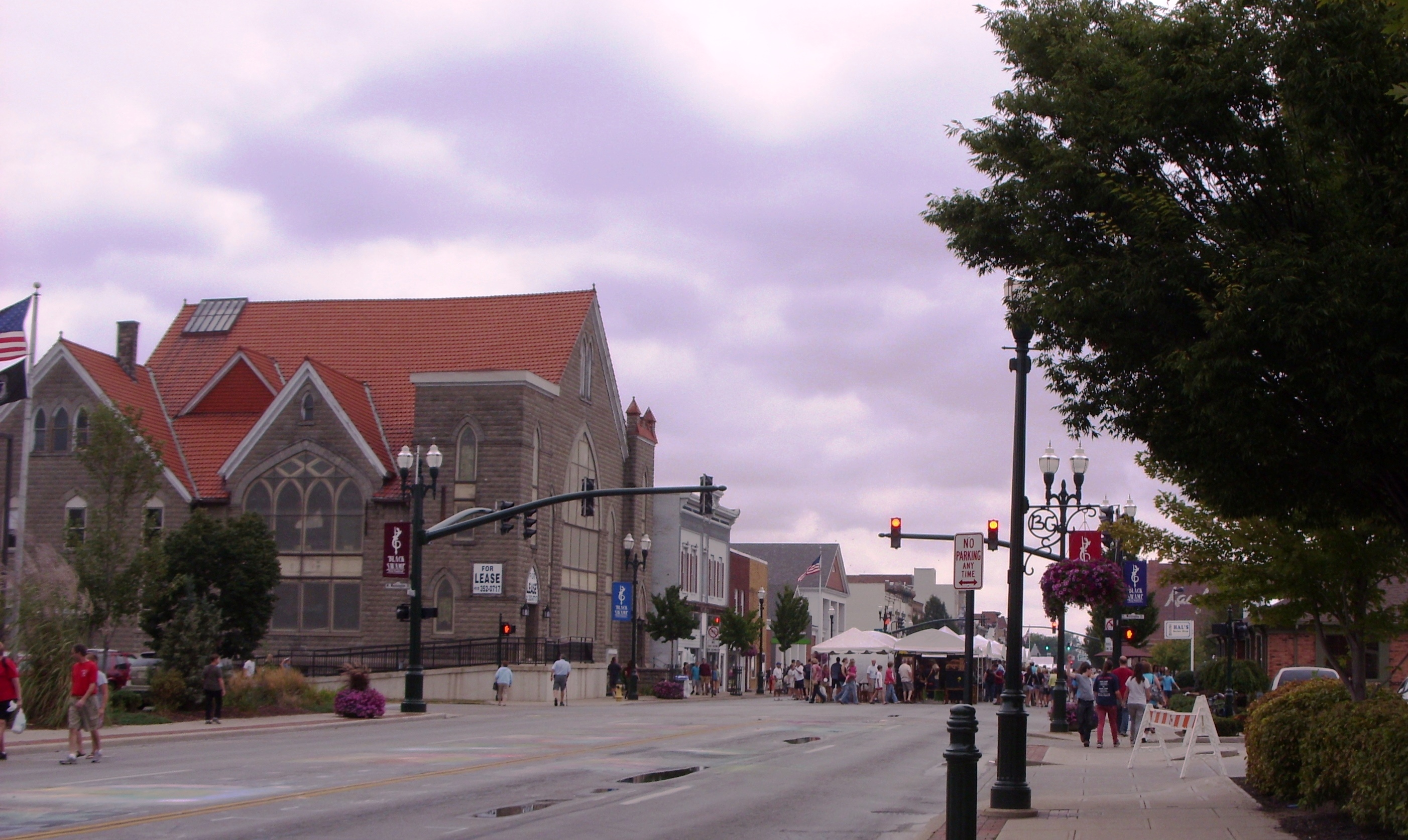
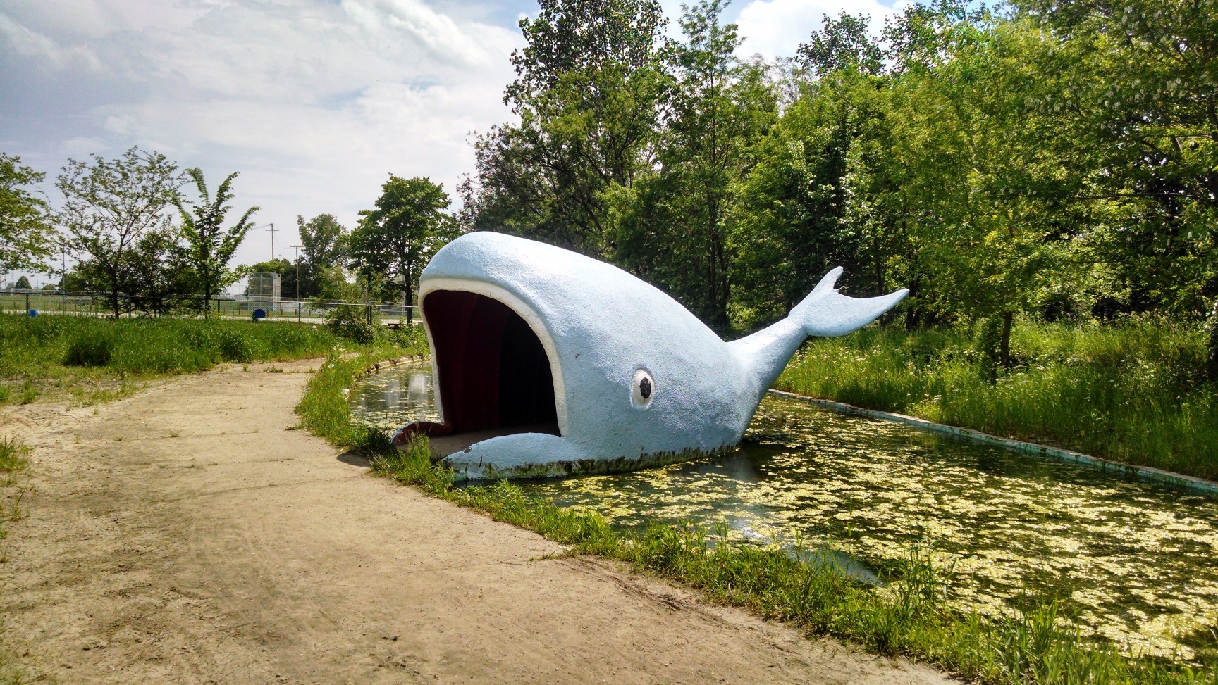
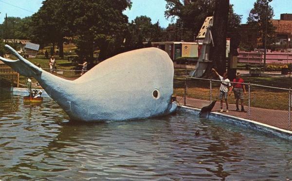
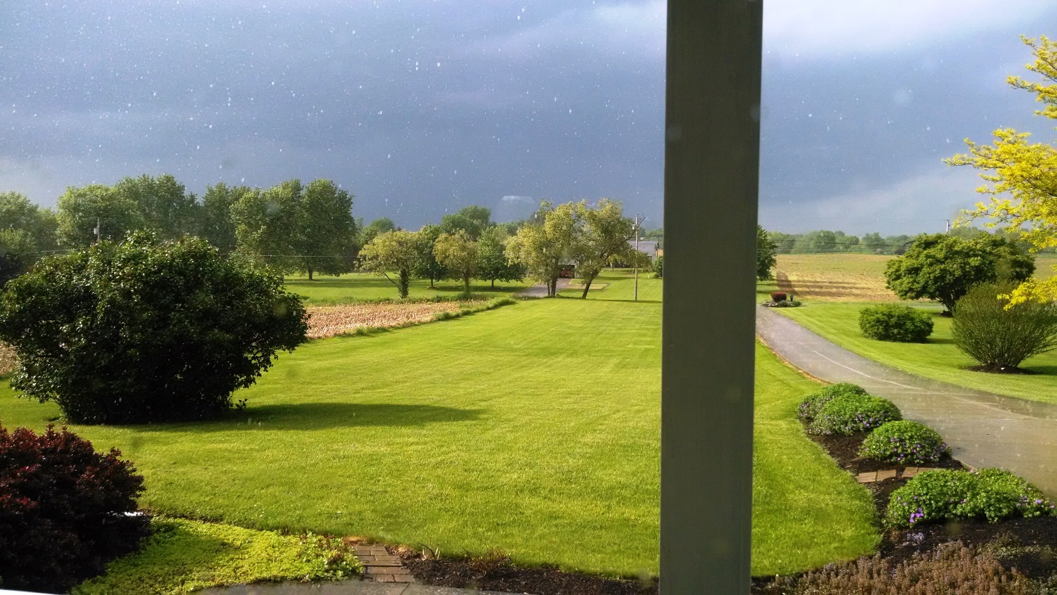
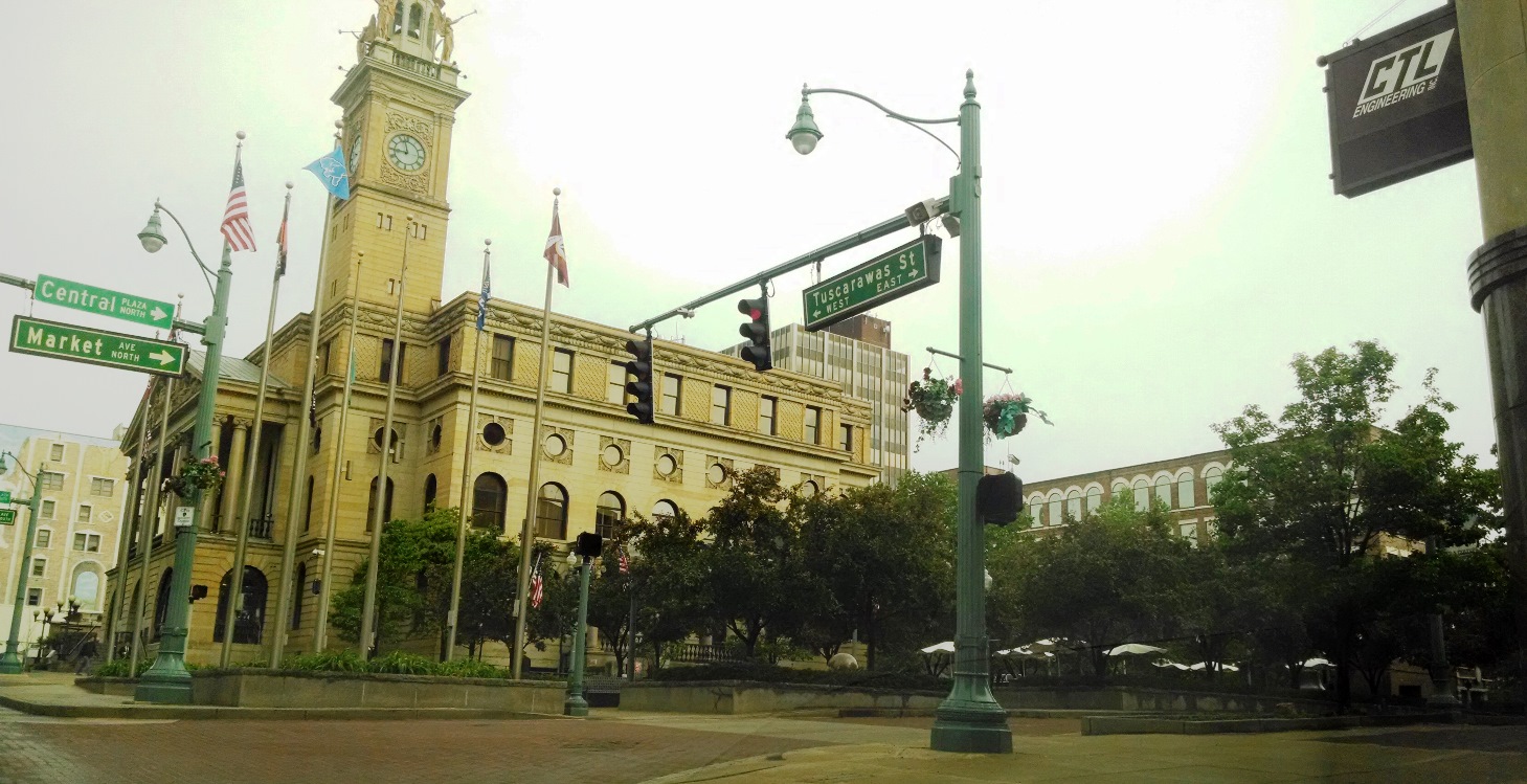
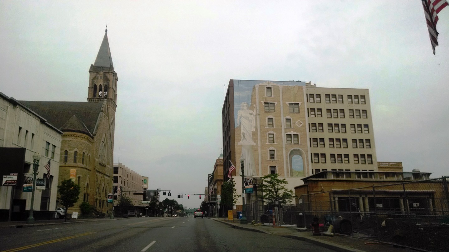
Bowling Green, Ohio, where my wife and I live, has a population of just over 30,000 people. Today (and for the next three days), however, that number is expected to balloon up to about 100,000 people. The Black Swamp Arts Festival has arrived.  

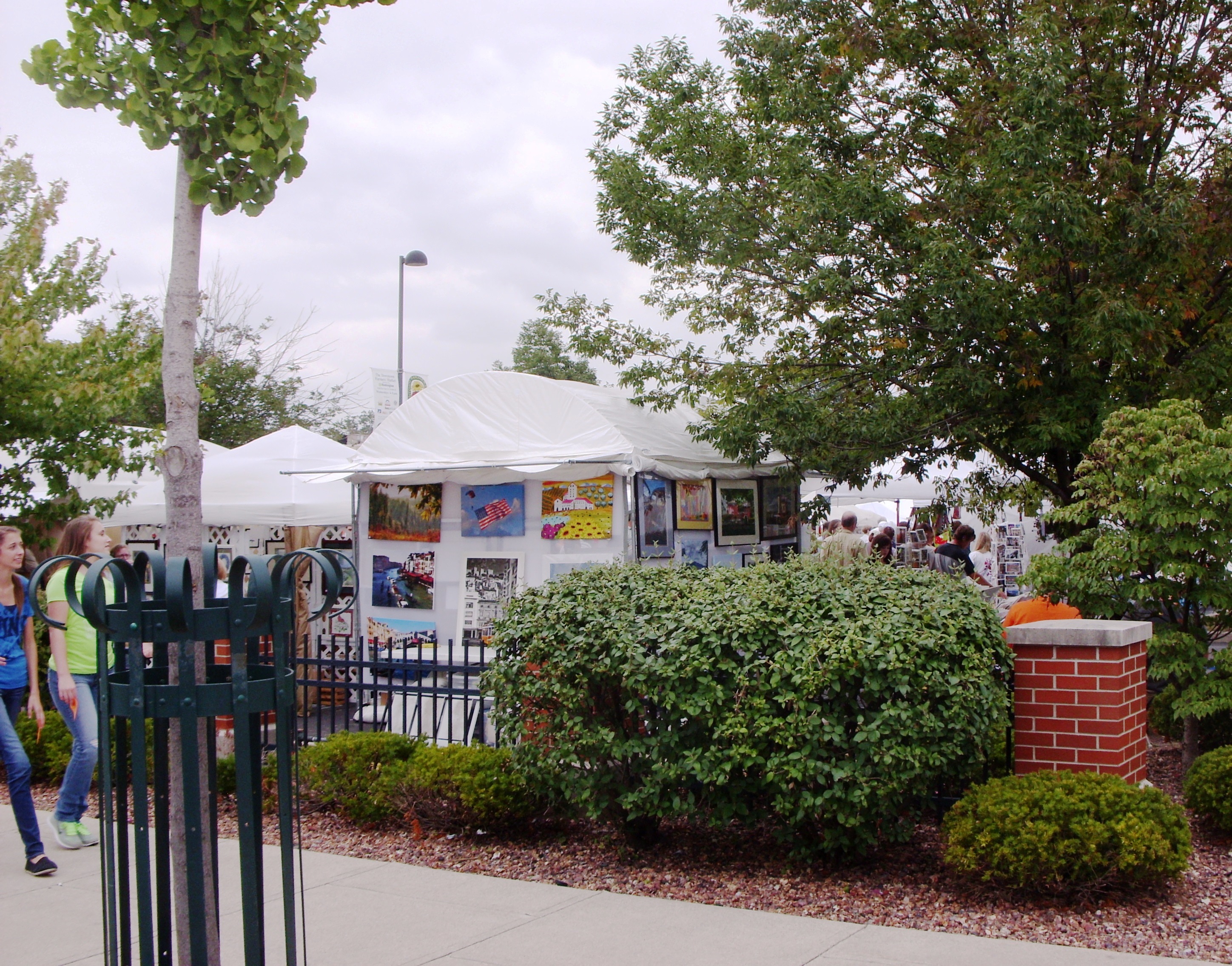
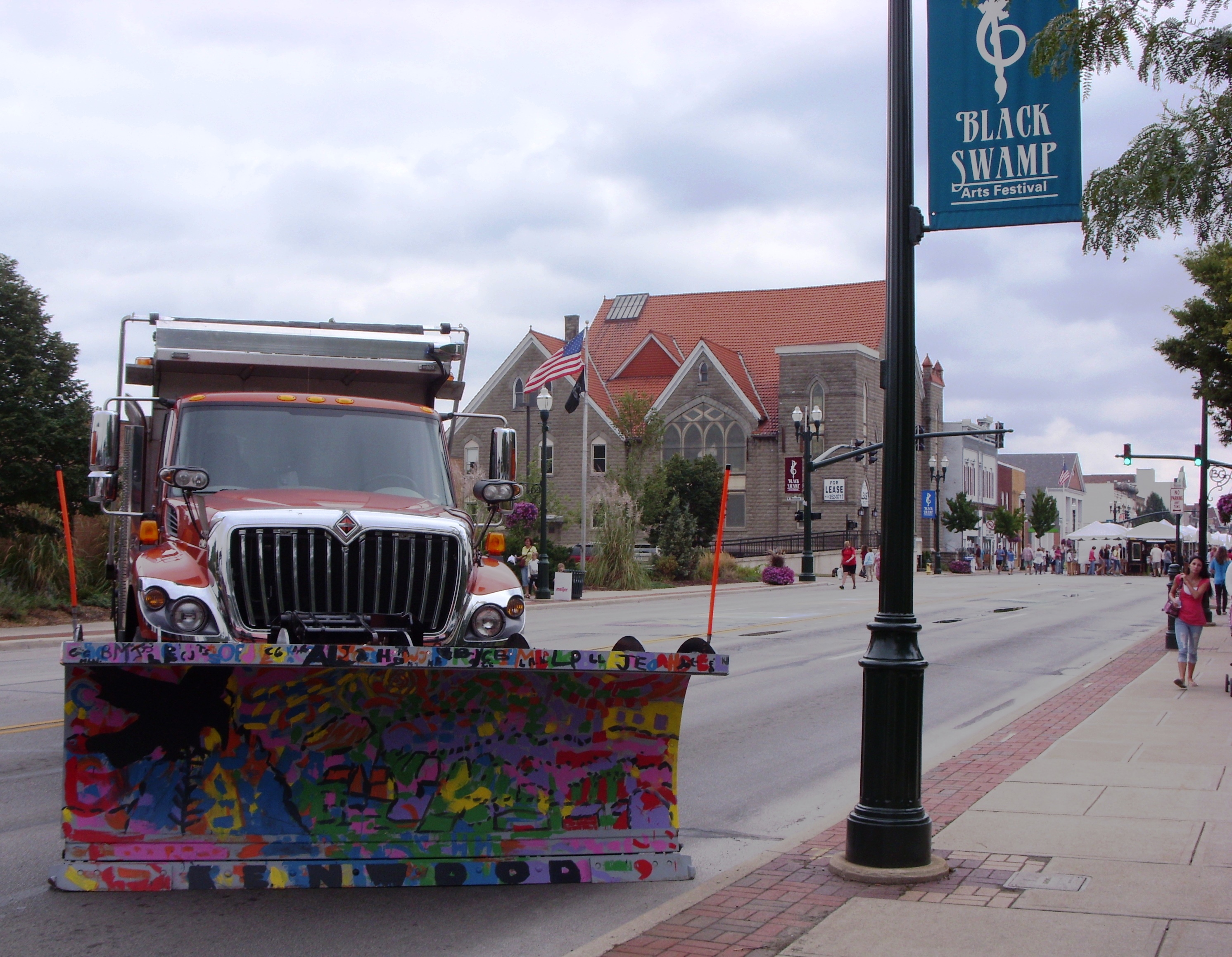
The Black Swamp Arts festival is a free three-day art and music festival in historic downtown Bowling Green, Ohio. Over 60,000 people attend to enjoy the art, music, and atmosphere. Downtown Main Street is lined with over 150 juried artist exhibits from across the country.  

The first Black Swamp Arts Festival was held in Downtown Bowling Green in the Fall of 1993. It was organized by a group of Downtown Business Owners and members of the community who had an interest in spotlighting the arts in Bowling Green. Each year, the Festival has grown: increased number of members who plan and organize Festival details, increased number of fine artists who display and sell their artwork, increased number of performing artists who entertain with all genres of music and stage performances, and an increased number of participants, both local and from out-of-town, who come to enjoy and support the arts.

Source: About Black Swamp Arts Festival, official page

Discover Ohio adds:

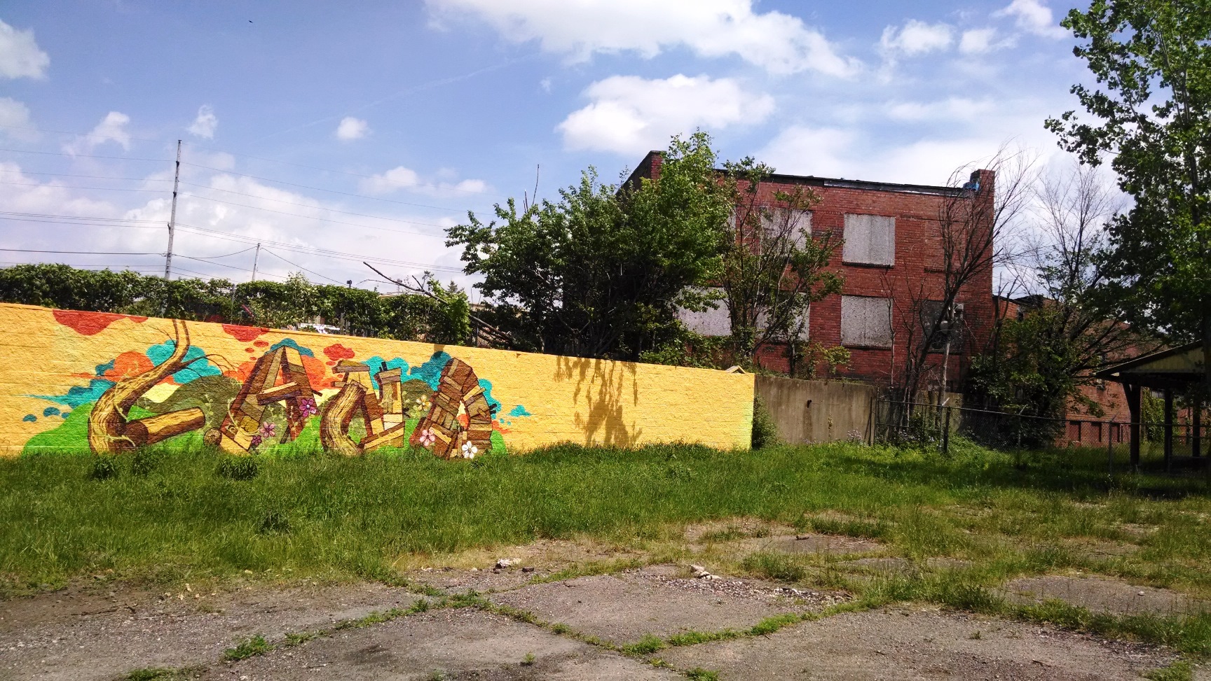
Historic Downtown Bowling Green is transformed into a vibrant three-day Music and Arts Festival. Each year new and exciting art work is presented by visual and performance artists… The Artists at Work booths are hands-on community art projects for adult visitors. Visual artists create on-site as visitors watch, and sometimes try their hand at the craft. Participating artists include water colorists, acrylics painters, sculptors, glass bead makers, woodworkers and potters who demonstrate, answer questions, and share their knowledge of how they take raw materials and turn them into art. Kids areas have music making and a multitude of  hands-on art projects to take home.

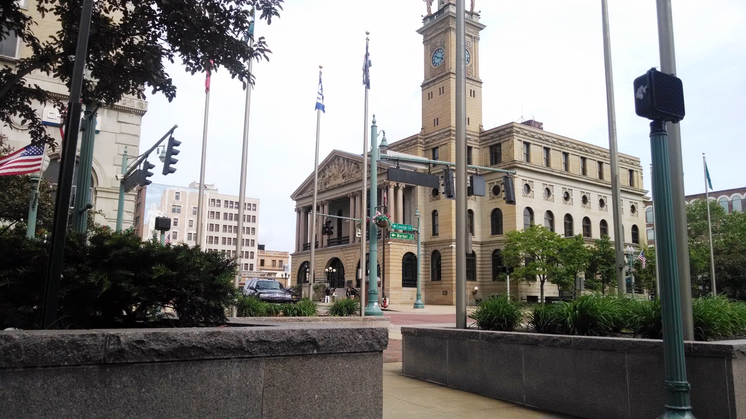
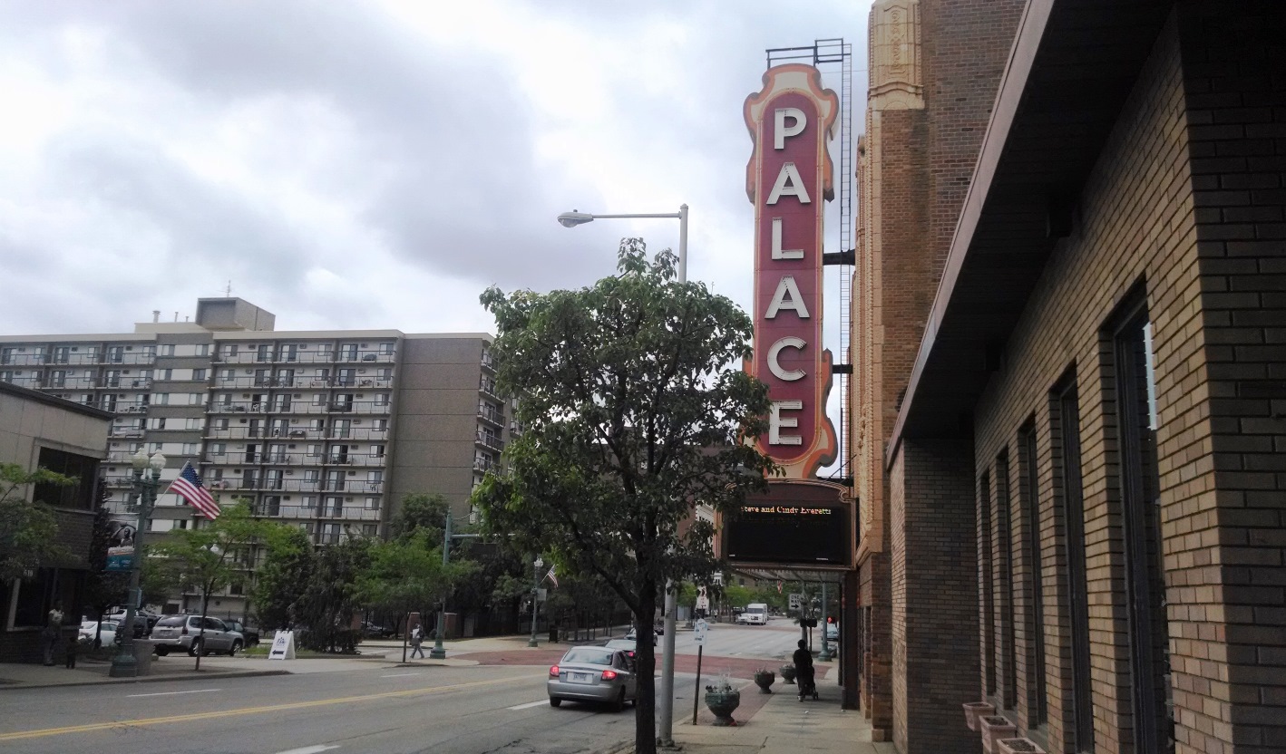
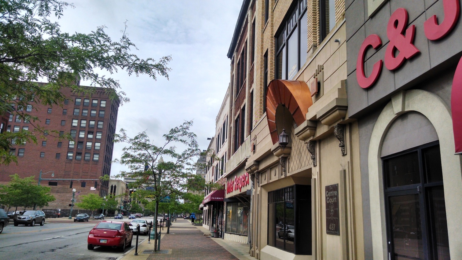
We moved here on August 23rd last year, only about two weeks before the festival began, so that Jasmine, my wife, could finish a degree she began here in Fall 2008. I had seen a sign indicating that a festival was coming, but it caught me by surprise anyway. The first day of the festival I tried to drive over to the Bureau of Motor Vehicles to get my new license plate tag and sticker. The next thing I knew I was helplessly stuck in traffic just outside of the city limits, surrounded by a woods on one side and a cornfield on the other. As soon as I got a chance, I turned around and drove back home, but we did walk downtown to the festival later that day. Here are a few pictures from our visit to the festival last year:

03

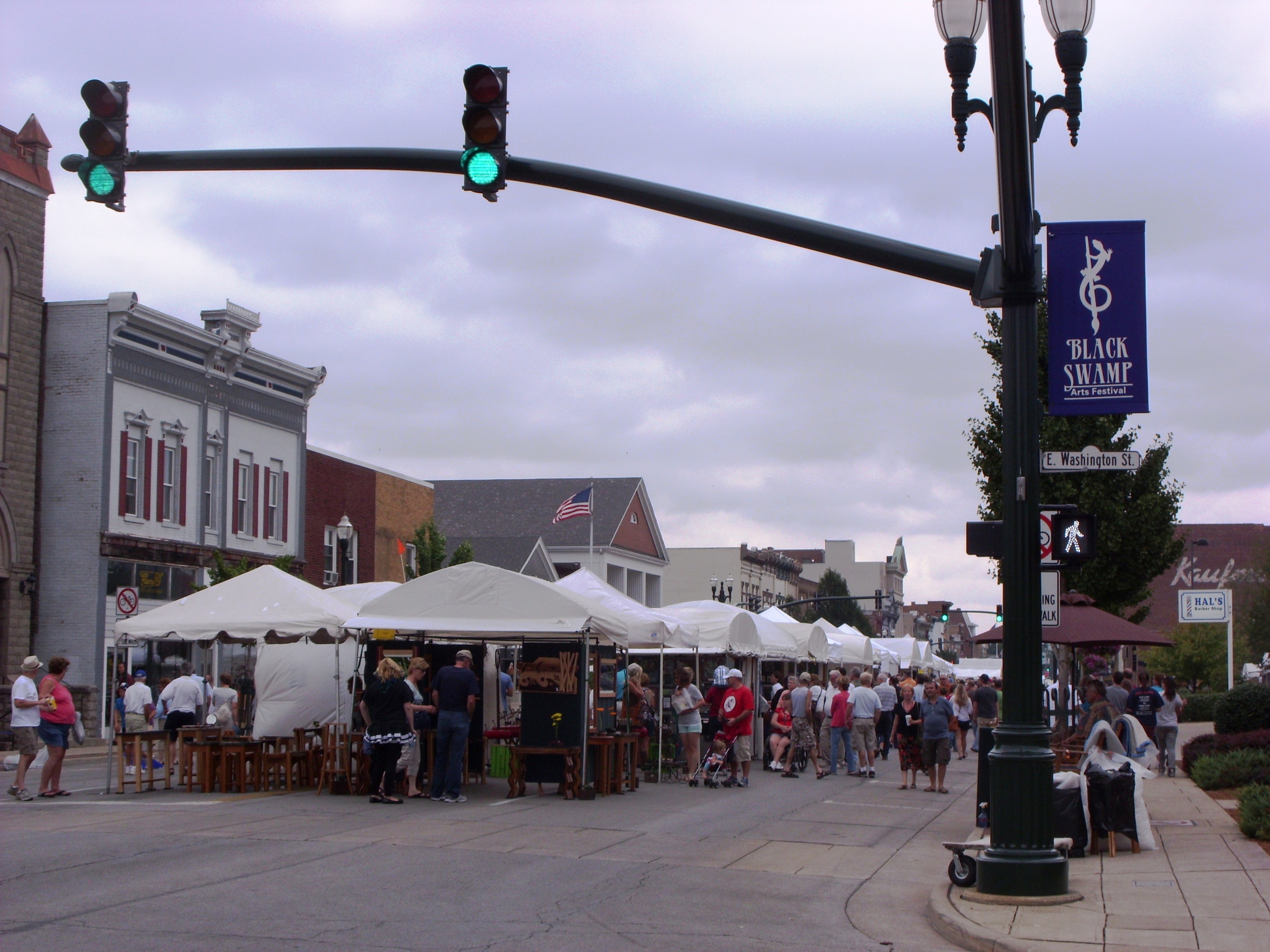
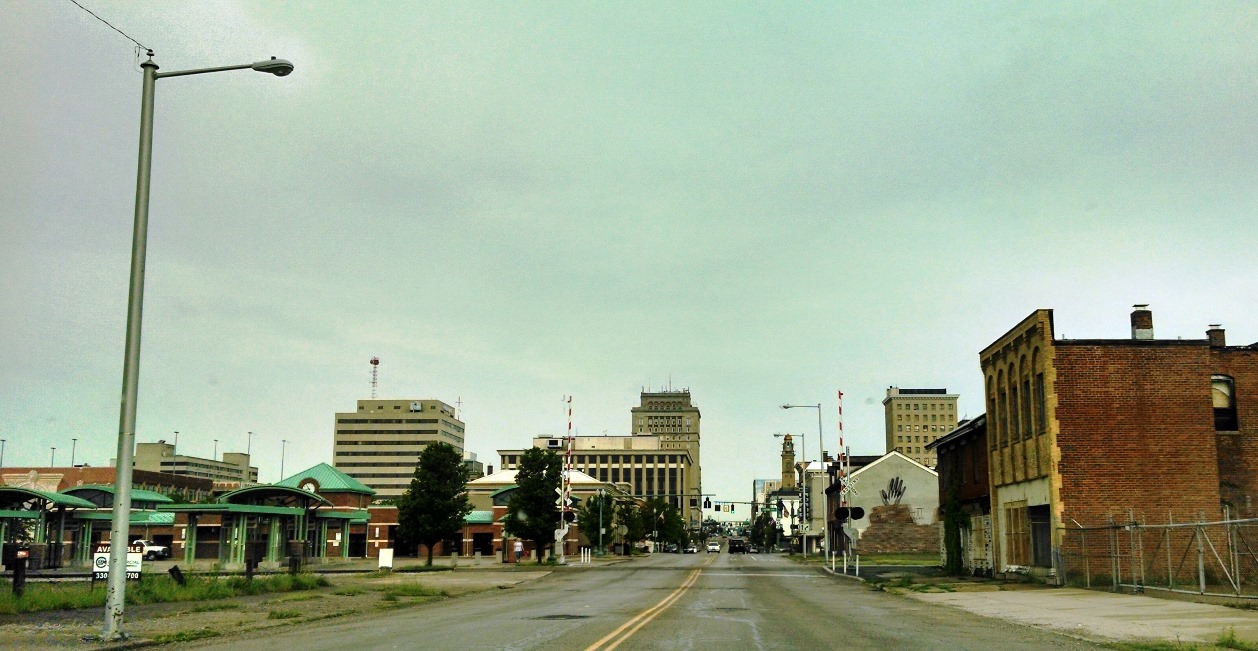
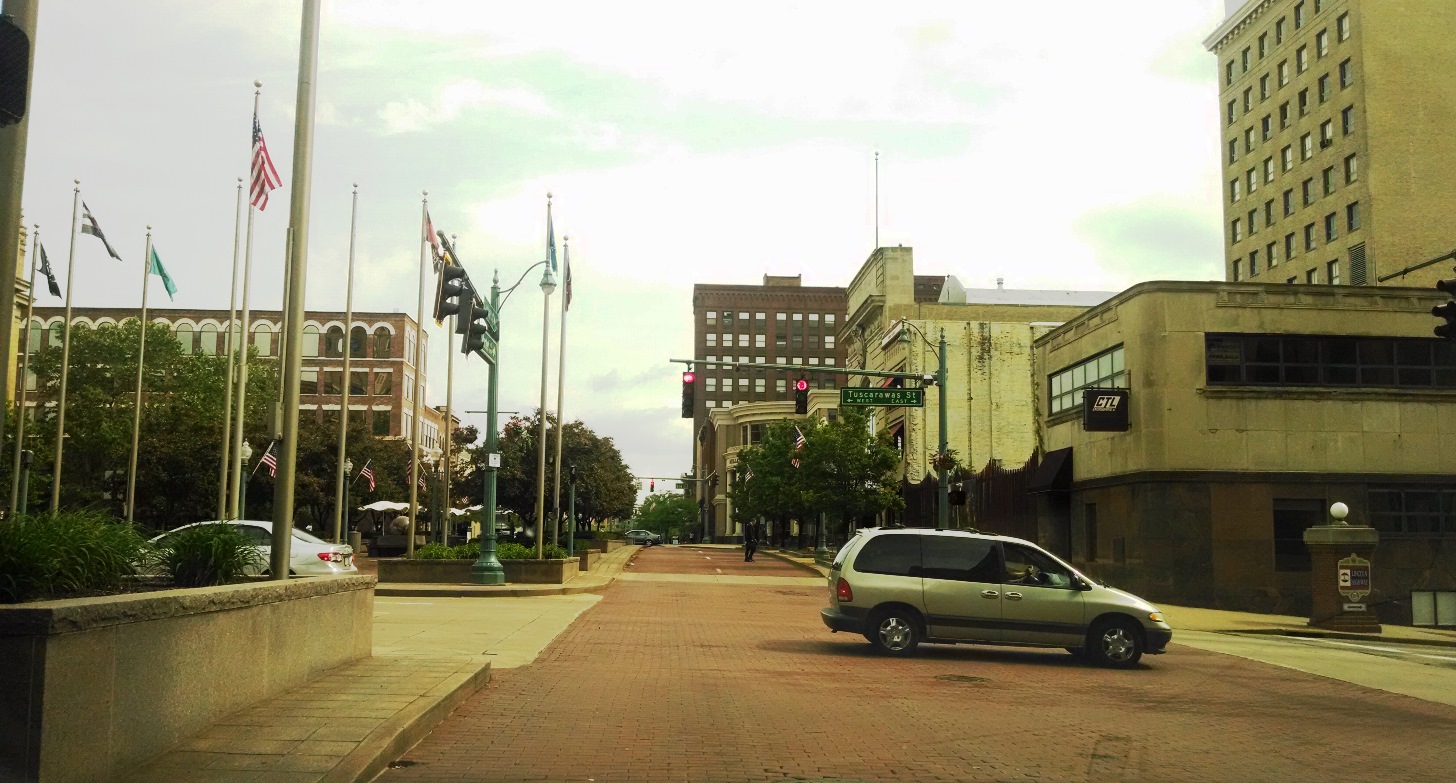
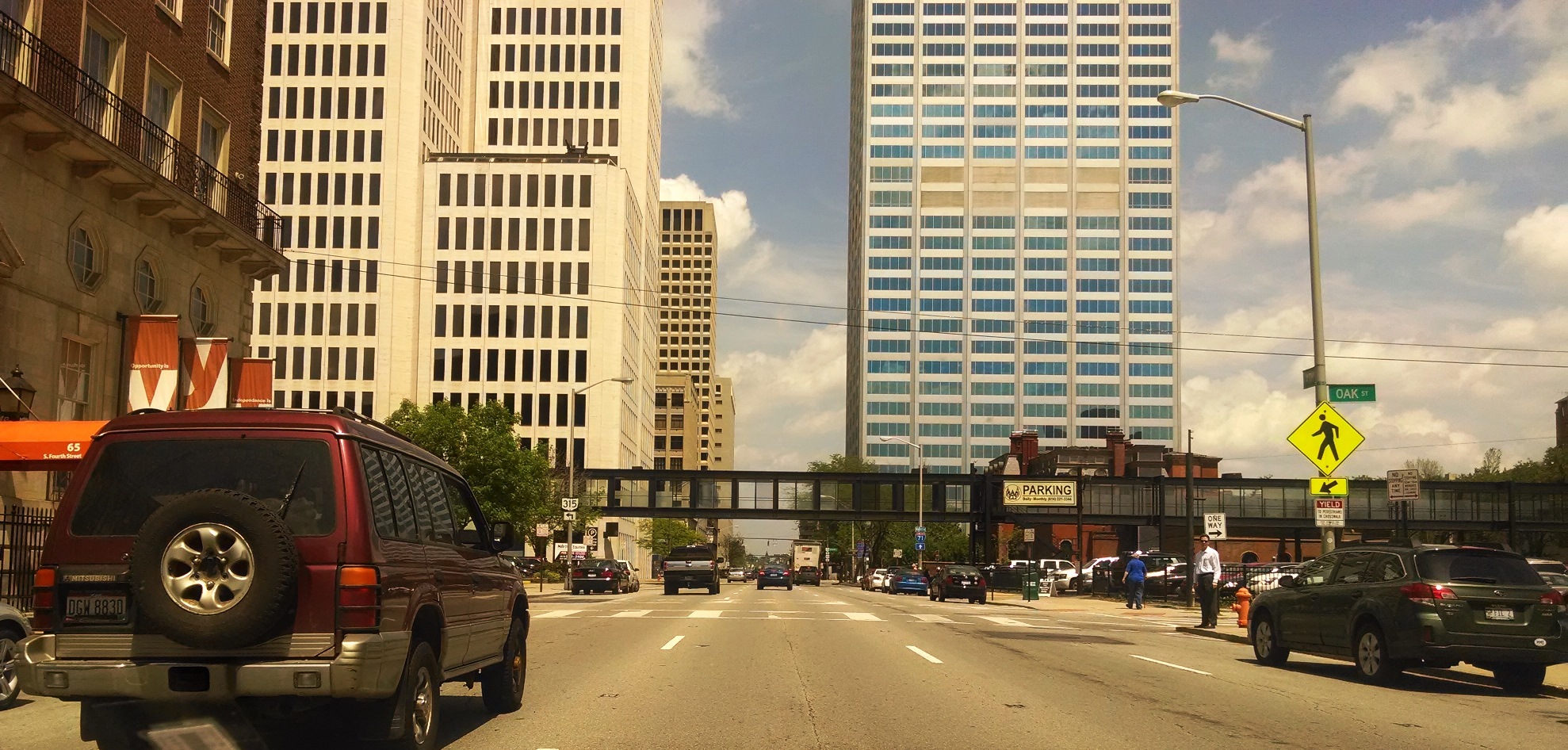
View of the festival entrance from the south side of downtown

08
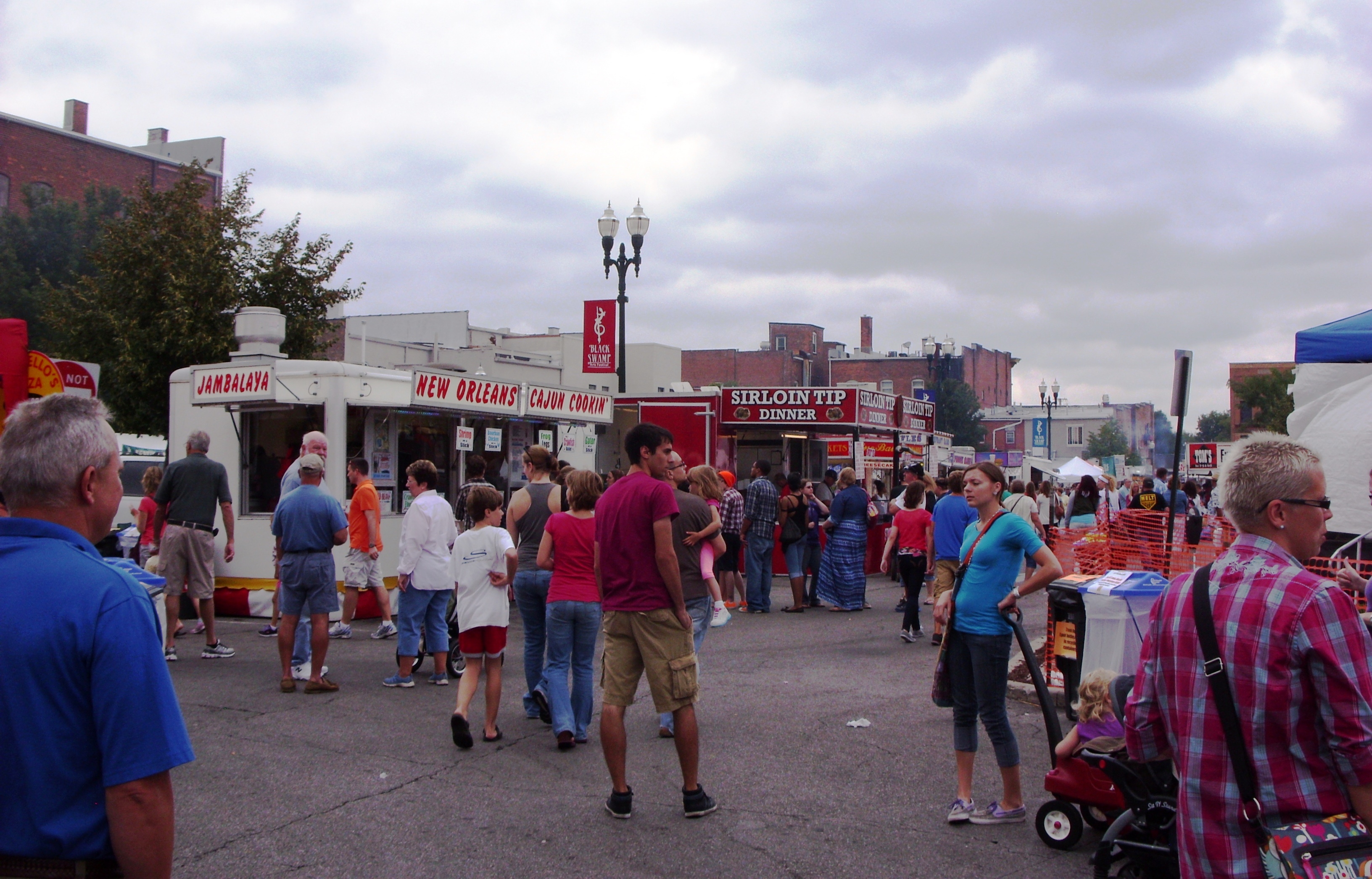
Some of the pop-up food tents (we enjoyed some Thai food from one of them)

06

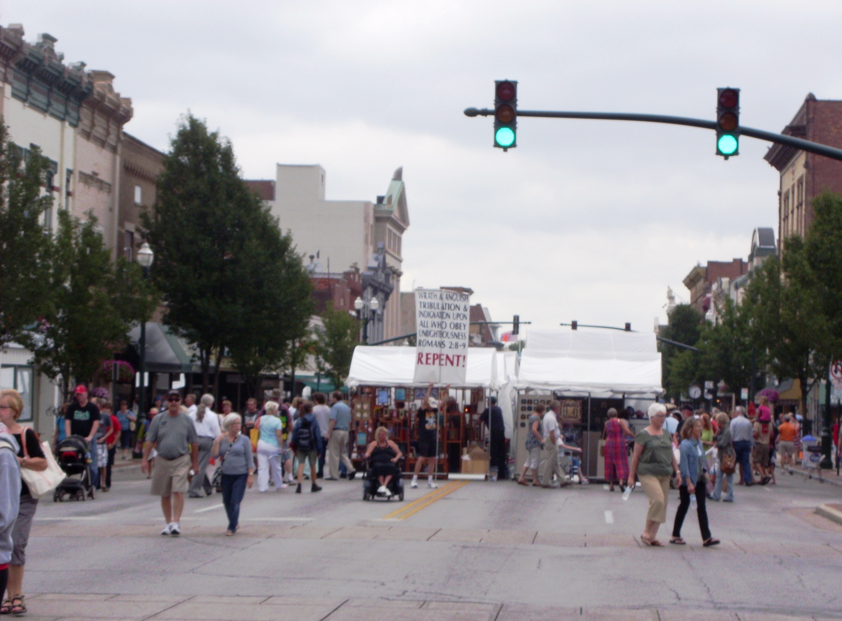
Street preachers were determined to get their message out.

07

05

02

01

Why is the festival named after a Black Swamp? 

Northwest Ohio and part of eastern Indiana used to be covered by a massive swamp. Historic Perrysburg describes the Great Black Swamp as “an oozing mass of water, mud, snakes, wolves, wildcats, biting flies, and clouds of gnats and mosquitoes” that covered an area nearly the size of the state of Connecticut. It stretched “40 miles wide and 120 miles long” from Perrysburg, Ohio in the north to Findlay, Ohio in the south, and from Fort Wayne, Indiana in the west to Sandusky, Ohio (now home to Cedar Point) in the east.

(Bowling Green is located halfway between Toledo and Findlay, along I-75, and Perrysburg is located just south of Toledo. Photo Credit: Wikipedia)

Historic Perrysburg goes on to describe the history of this swamp:

Water, often up to the belly of a horse, stood on the surface until it evaporated in the hot summer months. When it rained, or thawed in the winter, it was water and muck. Much of the swamp was covered with an almost impenetrable forest of giant oak, sycamore, hickory, walnut, ash, elm, maple and cottonwood trees, except in a few prairie areas where limestone just under the surface would not support timber growth.

Not even native Indians went into the swamp except to hunt, and unless you could follow a blazed trail, it was easy to become hopelessly lost since you could only see but a few yards ahead.

The swamp was created 20,000 years ago when the last glacier retreated.

The enormous weight of the mile-thick ice pack pressed down and scooped out the earth beneath it to create a depression about 10 feet lower south of where Perrysburg sits on the river bluff. Thereafter, until it was drained, water stood in the silted wetland and clay in the ground prevented it from soaking in. When water was standing and flooding conditions occurred, large fish from the Maumee River and other streams could swim all over areas now covered by corn and soybean fields…

There was no end to the variety of sicknesses and maladies spawned from the mosquito-infested swamp. There was cholera, typhoid and milk sickness, but chief among them were malarial fevers generally known as “ague” for which people kept quinine powder on the table, along with salt and pepper, to sprinkle on their food.

The fevers caused people to have chills, or the shakes, and according to a doctor of the time it took them from three to five years to get over it. The shakes occurred from about the first of July until the first frost. They took hold of people and literally shook them up. The doctor wrote that so violent were the chills and shaking that when they came on, the very bed and floor would rattle.

The Black Swamp was Ohio’s last frontier, and beginning in the 1840s, it took several generations of determined farmers to drain it and make it the rich, flat farmland of today… It took back-breaking labor and construction of one of the greatest underground drainage systems in the history of the world to create the productive farmland we now drive by and take for granted just outside of Perrysburg.

According to Wikipedia, in the mid-1850’s it was a resident of Bowling Green, James B. Hill, who “made the quick drainage of the Black Swamp possible with his invention of the Buckeye Traction Ditcher.”

Recent Trip to Canton, Ohio (My Hometown)/Mother Goose Land Park


About a month ago my wife, Jasmine, and I made the 2.5 hour drive back to Canton, Ohio from Bowling Green, Ohio, where we now live. Both of us grew up in Canton, and our families are still there (with the exception of one of my four brothers and his wife, who live in North Carolina). We came into town for about 24 hours, mainly to see Jasmine’s sister graduate from high school, but also to see our families.

As soon as we arrived in Canton, via the downtown exit off I-77 (and Route 30), we stopped at Mother Goose Land Park. I was six years old in 1984 when this park was shut down, and we had just heard that it was about to be revitalized.

05

The “Three Blind Mice” still appear on the fence behind the parking lot.

14

“Willy, the Whale” is the only structure that remains from the old park. I’m not sure yet which structures, if any, will be recreated as this park is rehabilitated. (See the Mother Goose Land Facebook page for archived photos of the park when it was open, featuring “The Old Lady Who Lived in a Shoe”, “Humpty Dumpty”, “Goldilocks and the Three Bears”, “The Wizard of Oz” characters, “Miss Muffet,” etc.)

29

The word “LAND” still remains on the fence next to the rundown parking lot (restoration plans include a new parking lot).

34

The park is located on W. Tuscarawas Street, about a half mile from downtown Canton, and a very short walk from the church I attended from the age of three (in the photo above it’s just past the MGL sign and the trees behind it). Here are a few of the archived photos from Mother Goose Land’s official Facebook page:

Mother Goose Land 01

Mother Goose Land 02

Mother Goose Land 03

Mother Goose Land 04

Mother Goose Land 06

After visiting the park, we spent a few hours with my family on the north side of Canton. Photo – view of my parents’ front yard as a storm was approaching:

37

From there we left to attend my sister-in-law’s high school graduation.
Photo – my sister-in-law and her cousin, who graduated from a different school the same evening:

45

Those who attended both graduations gathered at TGI Fridays afterward for dinner/appetizers. We made it inside just before another storm arrived (the ducks didn’t seem to be concerned about it):

43

The next day, before heading back to Bowling Green, we visited downtown Canton and met Jasmine’s older sister and husband who had also come up from Athens, Ohio for the graduation.

51

56

58

59

66

67

68

69

74

The husbands talked while the wives shopped:

71

73

Day Trip to Columbus and Athens, Ohio


A week ago my wife, Jasmine, and I made a day trip to Columbus and Athens, Ohio. We spent about five hours near Athens, located 75 miles southeast of Columbus, visiting her older sister, her husband, and their first child (almost three months old). 

On the way to Athens, we spent a little time in Columbus, which is about two hours from Bowling Green, where we live now. Our first stop was for lunch at a Somali restaurant called African Paradise Cuisine, northeast of downtown Columbus.

African Paradise

Inside African Paradise

We both came to like Somali food when we lived in the Twin Cities (Minneapolis and Saint Paul, Minnesota), and this was our first chance to enjoy it again since we moved to Bowling Green last August. Minneapolis has the highest number of Somalis in the US (about 75,000), and Columbus has the second highest number (about 55,000). Seattle and San Diego are third and fourth, respectively. 

Our plan was for one of us to order a fish entree and the other to order a goat entree, but we arrived before they had any fish ready, so we both ordered goat. Our meals came with complimentary mango juice, salads, and soup. We’ve found that salads at Somali restaurants are typically served with Italian dressing, and this is because Somalia was once an Italian colony (independence was granted in 1960). This is also why spaghetti with pasta sauce is commonly served as a side dish.

Goat Meat Meal

Meal

Less than a mile away was a Somali cafe, known as Safari Coffee. We stopped there for just a couple minutes to get a Somali tea (highly recommended) for the road. “Somali tea” is a spiced tea with milk (spiced with cardamom, cinnamon, ginger, cloves, and black pepper, for example). The one at Safari Coffee may be the best I’ve ever had.

Safari Coffee

Before heading out to Athens, we took a driving tour of downtown Columbus on this warm, humid, and beautiful day.

Downtown Columbus 01

Downtown Columbus 02

Downtown Columbus 03

Downtown Columbus 04

Downtown Columbus 05

Downtown Columbus has a neat promenade along the Scioto River called the Scioto Mile, featuring swings, a walking path, sculptures, fountains, an outdoor cafe, and Bicentennial Park (more information here and more photos here). 

Downtown Columbus 06

Downtown Columbus 07

—————————————————————————–

This post can be found on the newest page, titled “Places,” where a couple other posts featuring places and photos are already located, with more to come.

St. Paul, Minnesota’s Downtown Skyway


I had never experienced downtown living until August 2012, when Jasmine and I got married and moved into an apartment in downtown St. Paul, Minnesota. We found it to be a beautiful city, and really enjoyed living there. (A month ago we moved to Bowling Green, Ohio.)

Downtown St. Paul 02 - Copy

           View of downtown St. Paul from just south of the Mississippi River  (Credit: Personal photo)

Mississippi River

View of the Mississippi River and the Smith Avenue high bridge from downtown St. Paul (Credit: Personal photo)

One of the things we liked most about downtown St. Paul was its skyway system. Downtown St. Paul is relatively small, but it has five miles of skyway, all of it elevated one story above street level. It’s like a city within a city, linking 47 city blocks. Inside are two food courts, various shops, additional eating places, access to apartments and buildings, etc. (Minneapolis, by the way, has eight miles of skyway.) This map of downtown St. Paul shows the skyway routes in red:

St. Paul Skyway Map-page-0

Map Source

Winters are excessively cold in St. Paul, so having a skyway system is a great idea and a very welcome addition to the city. Please enjoy a series of photos from inside the skyway:

Skyway 01

Skyway 02

Skyway 03

Skyway 04

Skyway 05

Skyway 06

Skyway 07

In future posts, I plan to include more photos and videos from our time in Minnesota’s Twin Cities. I have plenty of organizing to do first.

**The photos above can also be viewed in a slideshow on Youtube.